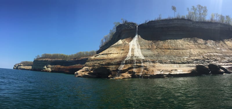
Bridalveil Falls in spring
By the National Park Service. From Wikimedia Commons. Public domain. Resized.

The lake, the cliffs and the shore on these pages are shown in pictures by the National Park Service and by a few photographers who shared their work. Thank you to every one of them.
Each photograph is listed under the page it appears on, with who took it, where it came from and the license it is shared under. Where we made a photograph smaller to fit the page, it says resized.
Bridalveil Falls in spring
By the National Park Service. From Wikimedia Commons. Public domain. Resized.
Bridalveil Falls in spring
By the National Park Service. From Wikimedia Commons. Public domain. Resized.
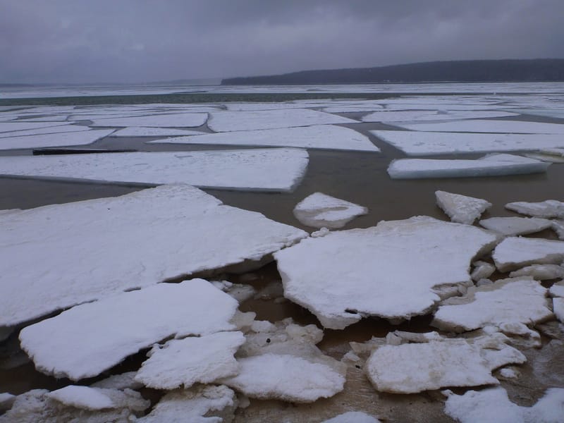
Munising Bay as the ice breaks up
By the National Park Service. From Wikimedia Commons. Public domain. Resized.
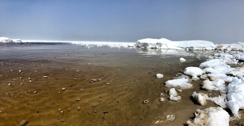
Miners Beach in early May
By the National Park Service. From Wikimedia Commons. Public domain. Resized.
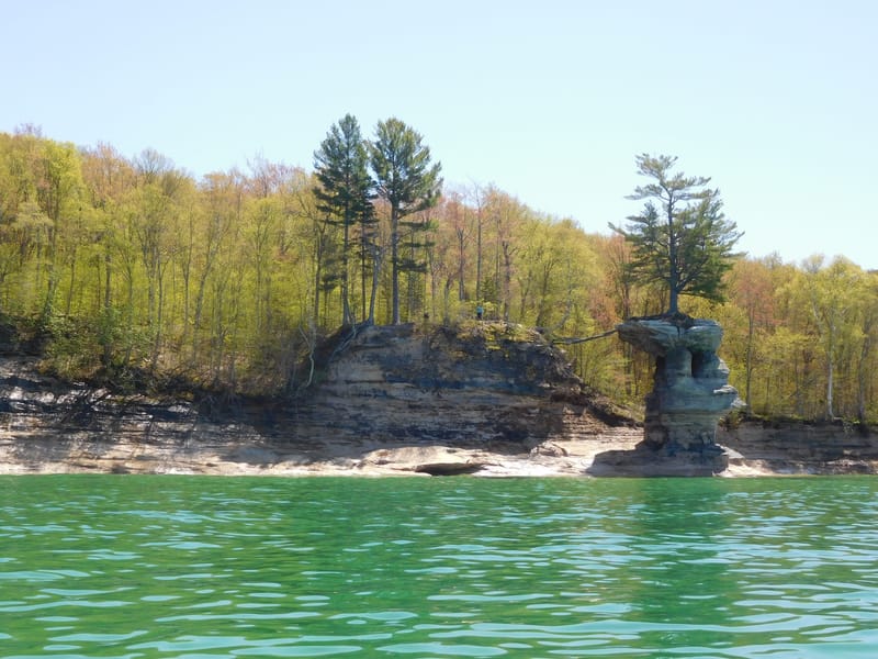
Chapel Rock in spring
By the National Park Service. From Wikimedia Commons. Public domain. Resized.
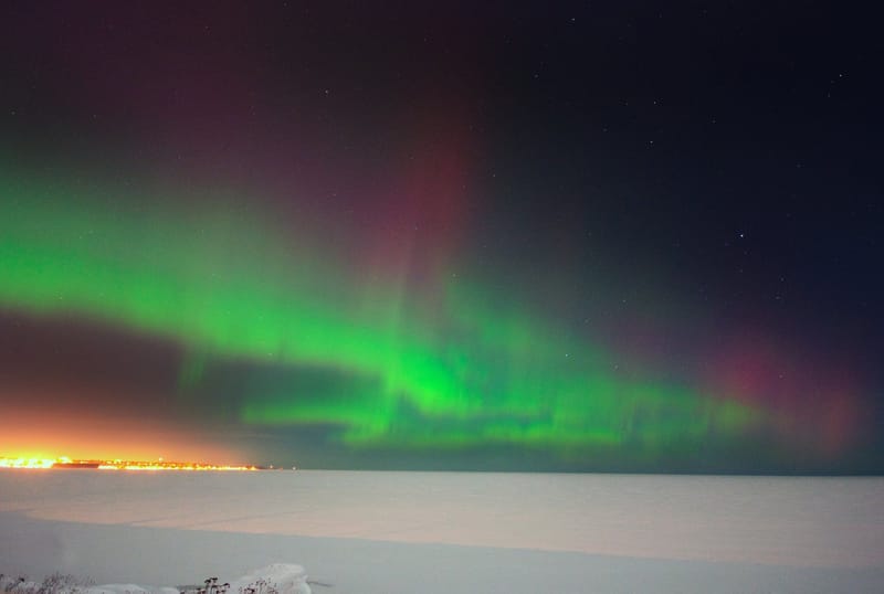
Northern lights over the lake
By Mark Stacey, NOAA National Weather Service. From Wikimedia Commons. Public domain, also offered under CC BY 2.0.
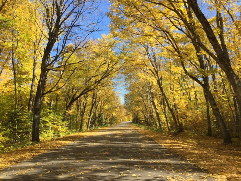
H-58 in October
By the National Park Service. From Wikimedia Commons. Public domain. Resized.
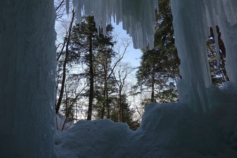
Looking out from behind the ice wall
By the National Park Service. From Wikimedia Commons. Public domain. Resized.
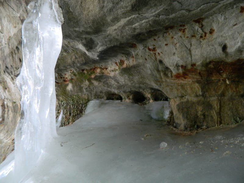
An ice cave at Eben
“Ice cave’s edge” by ThePenultimateOne. From Wikimedia Commons. License: CC BY-SA 4.0. Resized.
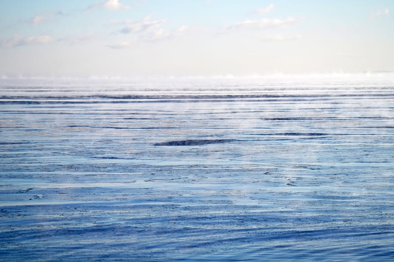
Sea smoke on Lake Superior
By Courtney Celley, U.S. Fish and Wildlife Service. From Wikimedia Commons. Public domain. Resized.
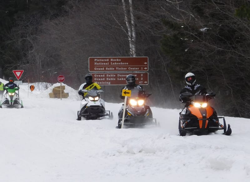
Riders at a trail sign near Grand Marais
By the National Park Service. From Wikimedia Commons. Public domain. Resized.
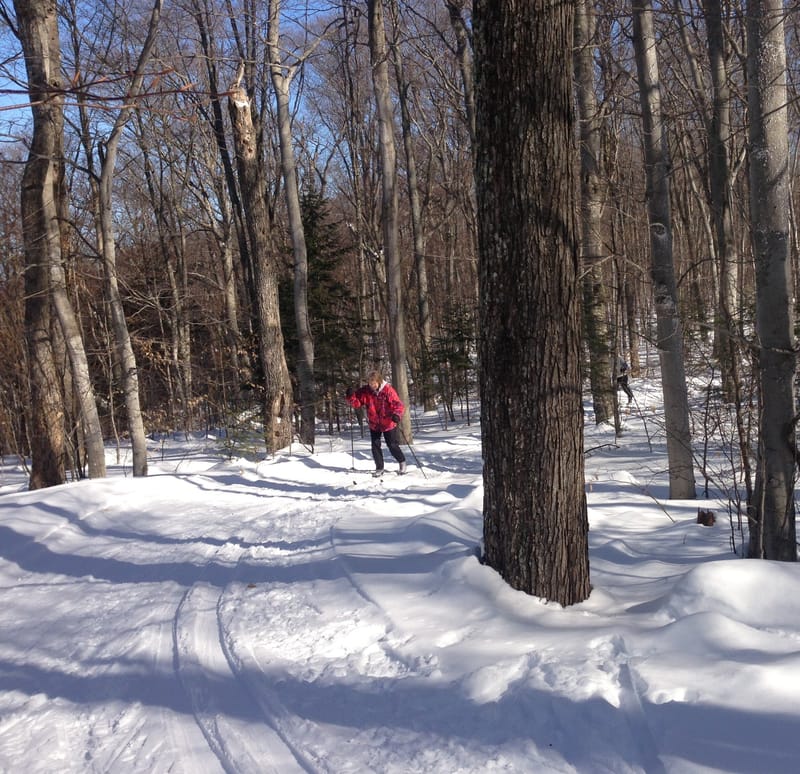
A groomed trail near Munising
By the National Park Service. From Wikimedia Commons. Public domain.
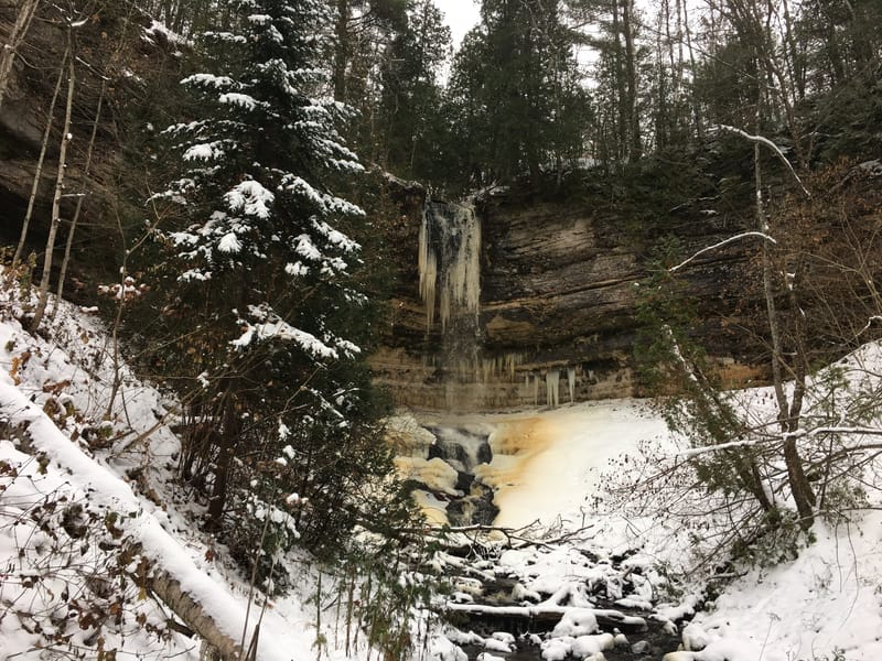
Munising Falls, frozen
By the National Park Service. From Wikimedia Commons. Public domain. Resized.
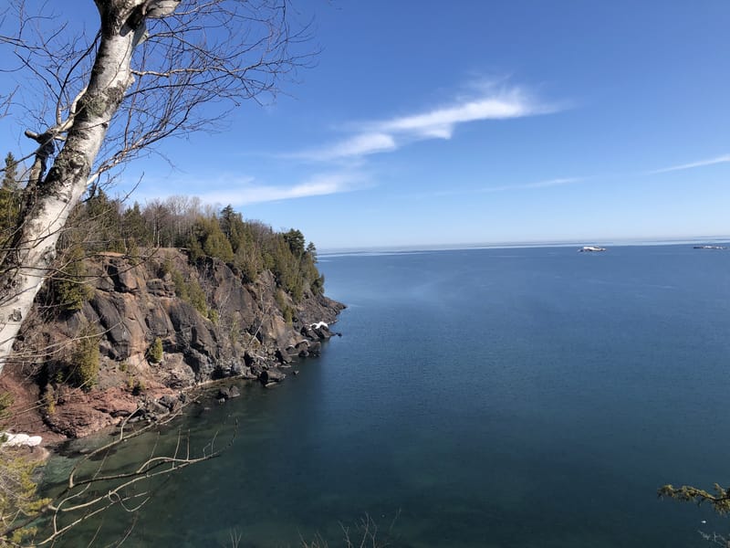
Presque Isle Park
“Presque Isle Lake Superior” by Hitoubashira. From Wikimedia Commons. License: CC BY-SA 4.0. Resized.
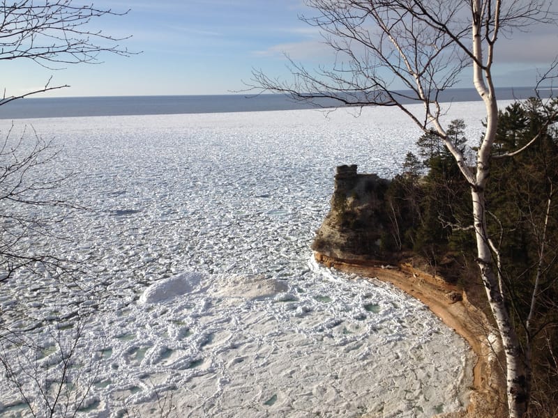
Miners Castle in April
By the National Park Service. From Wikimedia Commons. Public domain. Resized.
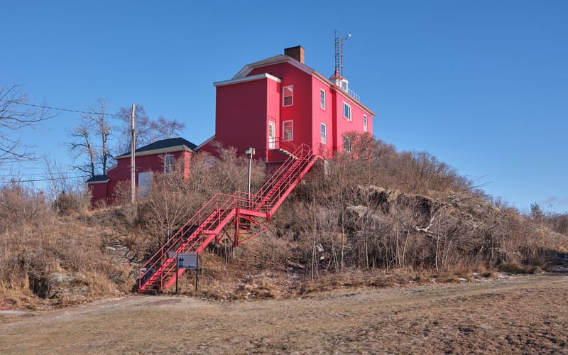
Marquette Harbor Lighthouse
“Marquette Harbor Lighthouse in January 2025” by Chris Rycroft. From Wikimedia Commons. License: CC BY 4.0. Resized.
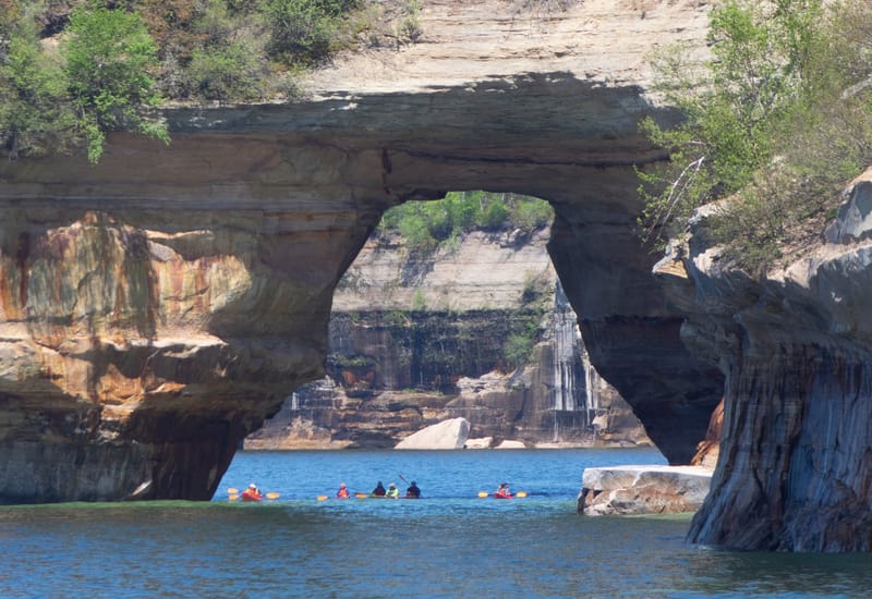
Kayakers under Lovers Leap
By the National Park Service. From Wikimedia Commons. Public domain. Resized.
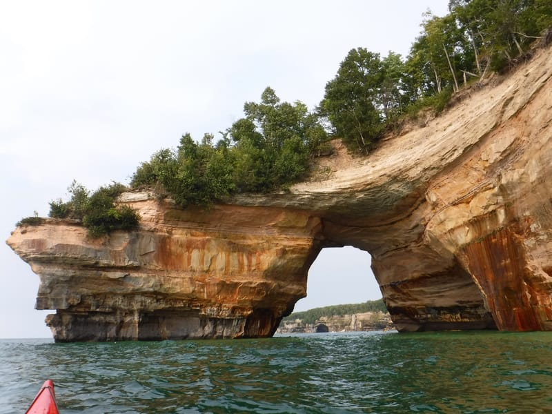
Lovers Leap, from the lake
By the National Park Service. From Wikimedia Commons. Public domain. Resized.
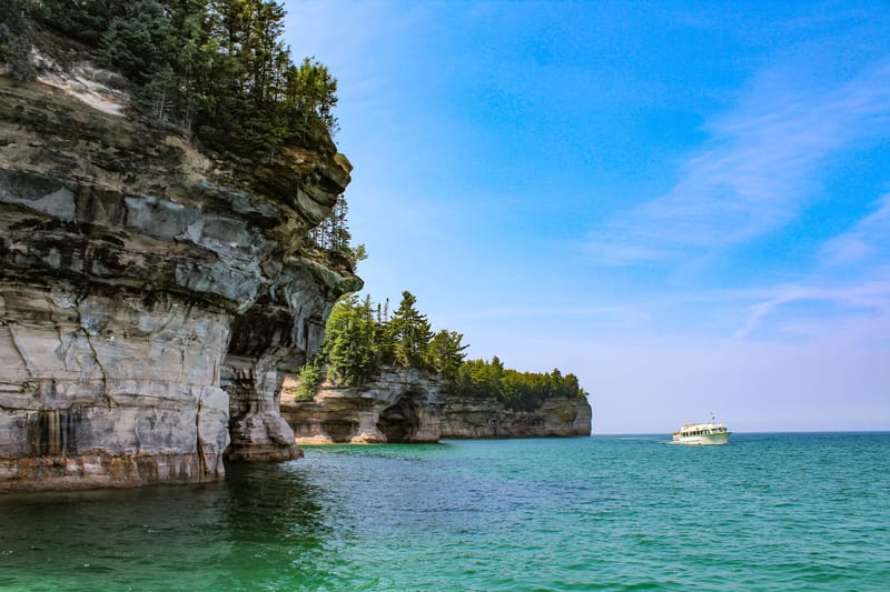
The boats leaving Munising City Dock
By Victoria Stauffenberg, National Park Service. From Wikimedia Commons. Public domain. Resized.
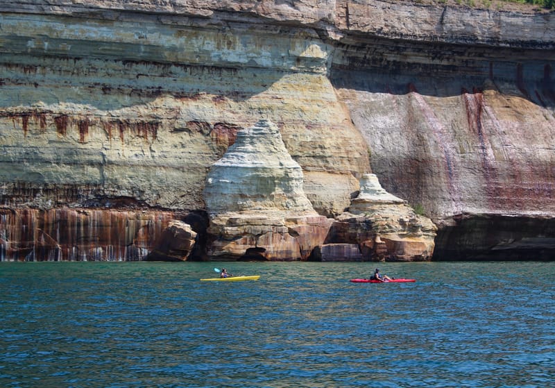
Iron, copper and manganese in the sandstone
By Victoria Stauffenberg, National Park Service. From Wikimedia Commons. Public domain. Resized.
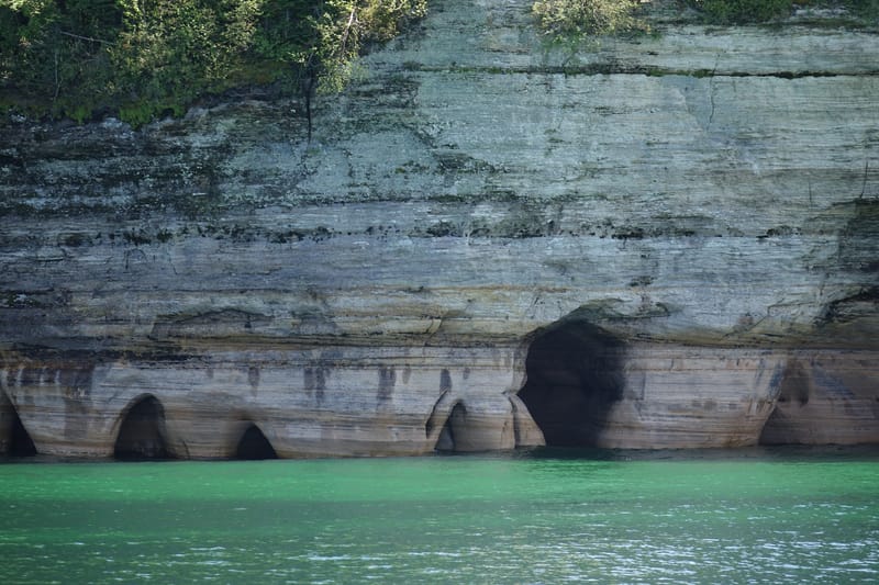
The base of Miners Castle
By the National Park Service. From Wikimedia Commons. Public domain. Resized.
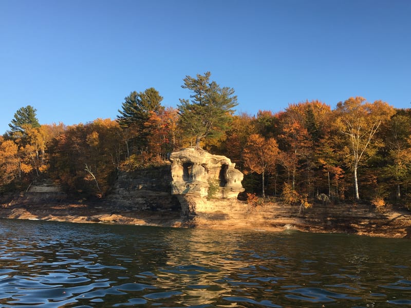
Chapel Rock
By the National Park Service. From Wikimedia Commons. Public domain. Resized.
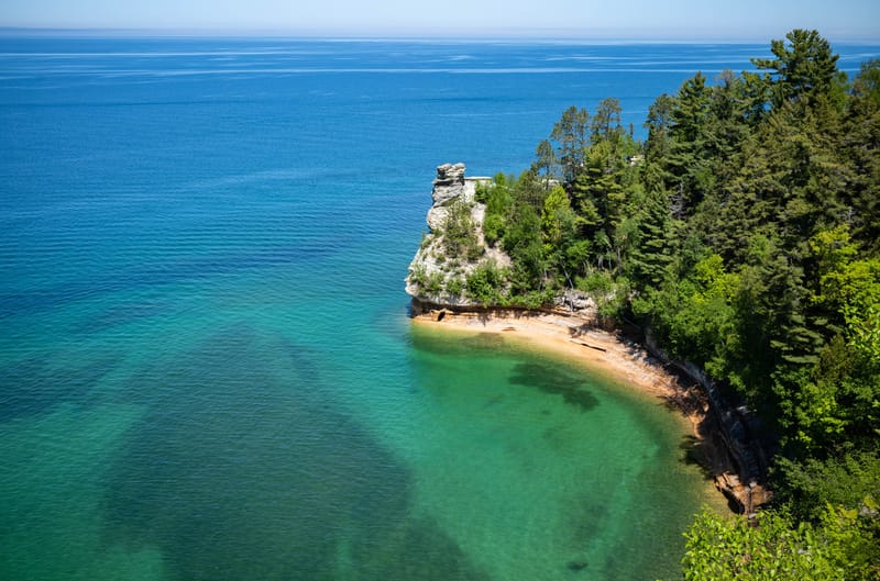
Miners Castle from the overlook
“Miners Castle” by *rboed*. From Wikimedia Commons. License: CC BY 2.0. Resized.
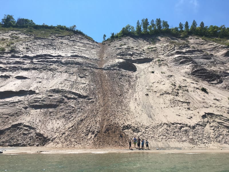
The Log Slide
By the National Park Service. From Wikimedia Commons. Public domain. Resized.
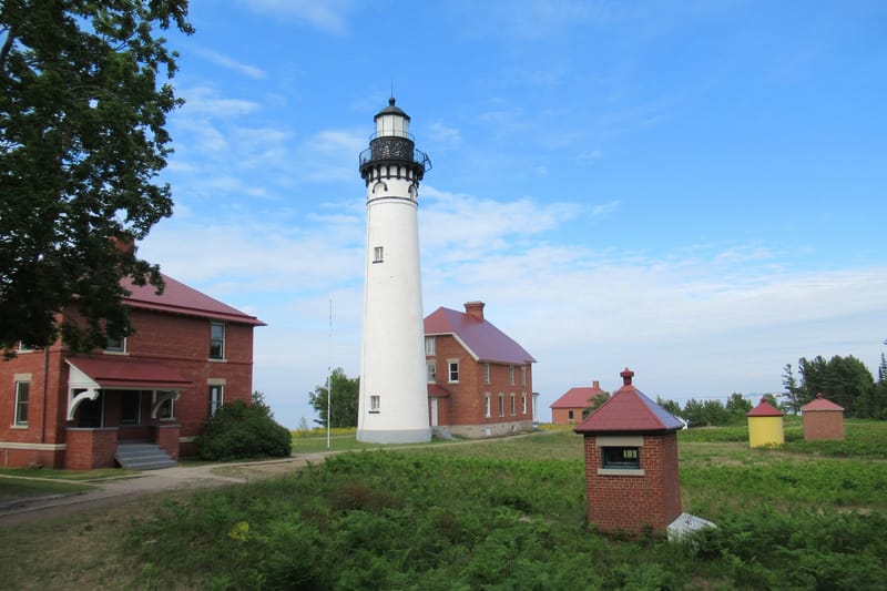
Au Sable Light Station
By Notorious4life. From Wikimedia Commons. License: CC0 (no rights reserved). Resized.
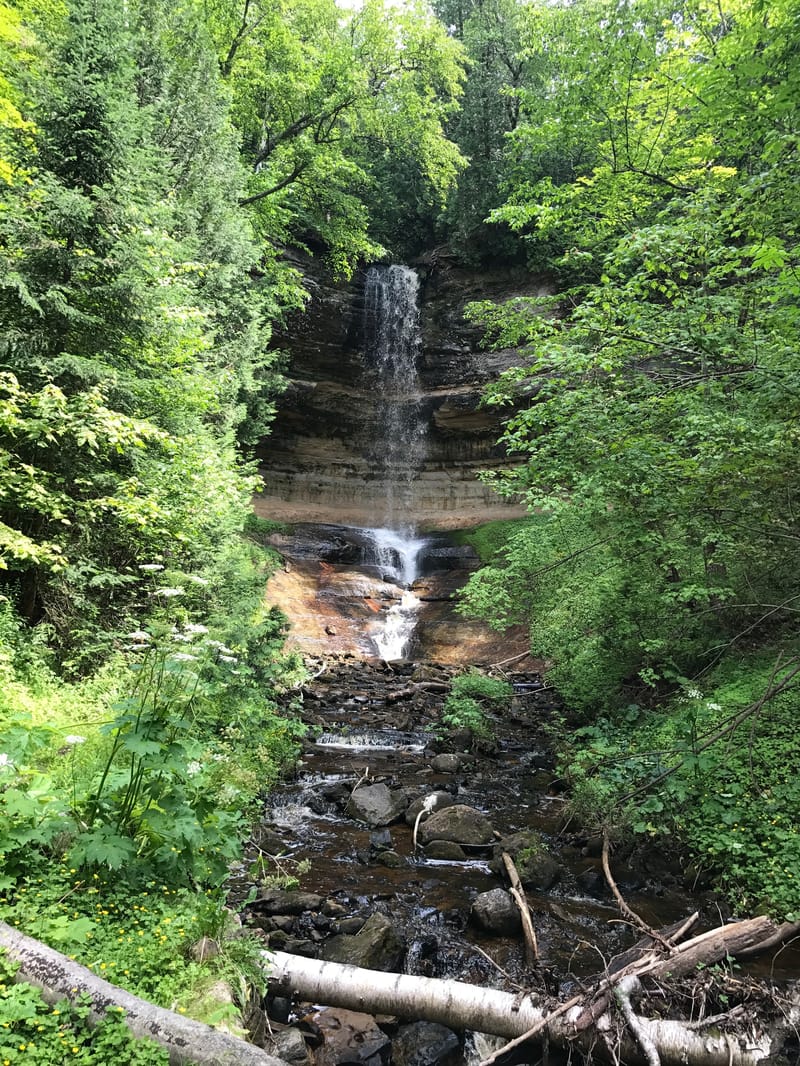
Munising Falls in summer
By the National Park Service. From Wikimedia Commons. Public domain. Resized.
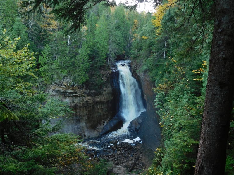
Miners Falls
By the National Park Service. From Wikimedia Commons. Public domain. Resized.
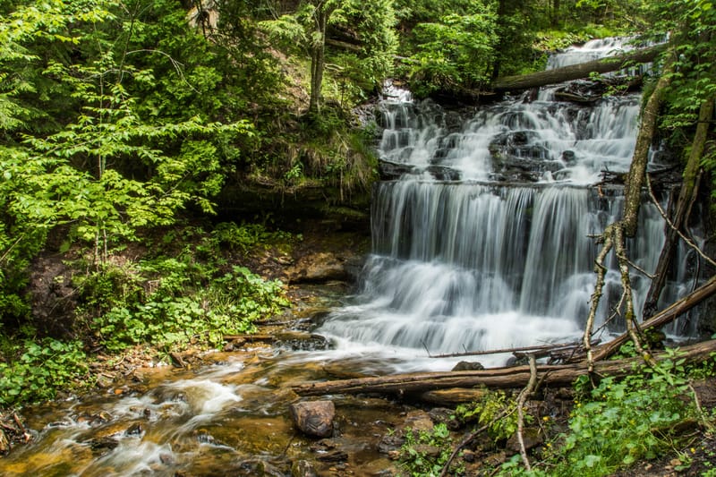
Wagner Falls
“Wagner Falls” by LadyDragonflyCC - >;<. From Wikimedia Commons. License: CC BY 2.0. Resized.
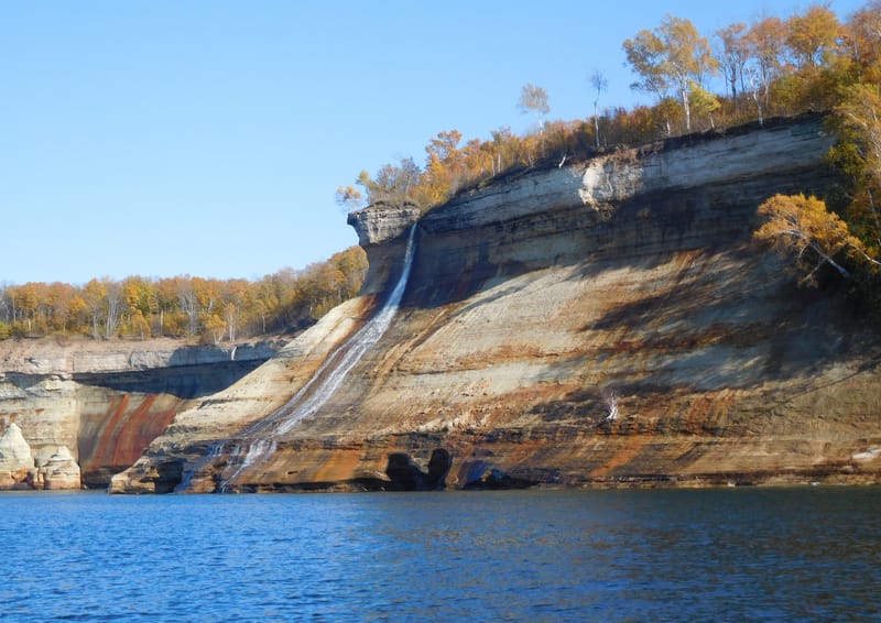
Bridalveil Falls
By the National Park Service. From Wikimedia Commons. Public domain. Resized.
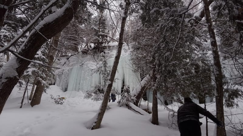
The ice curtains
By the National Park Service. From Wikimedia Commons. Public domain. Resized.
Looking out from behind the ice wall
By the National Park Service. From Wikimedia Commons. Public domain. Resized.
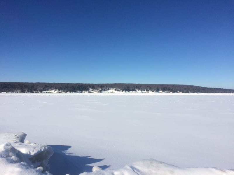
Munising Bay frozen, Grand Island beyond
By the National Park Service. From Wikimedia Commons. Public domain.