
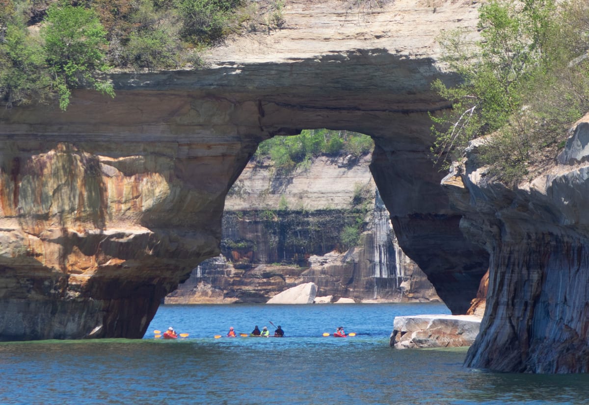
The painted cliffs, 34 minutes east.
The cliffs of Pictured Rocks run about 15 miles along Lake Superior, from Sand Point to just past Spray Falls, 50 to 200 feet above the water. The lodge stands on M-28, the road that takes you there.
From the water.
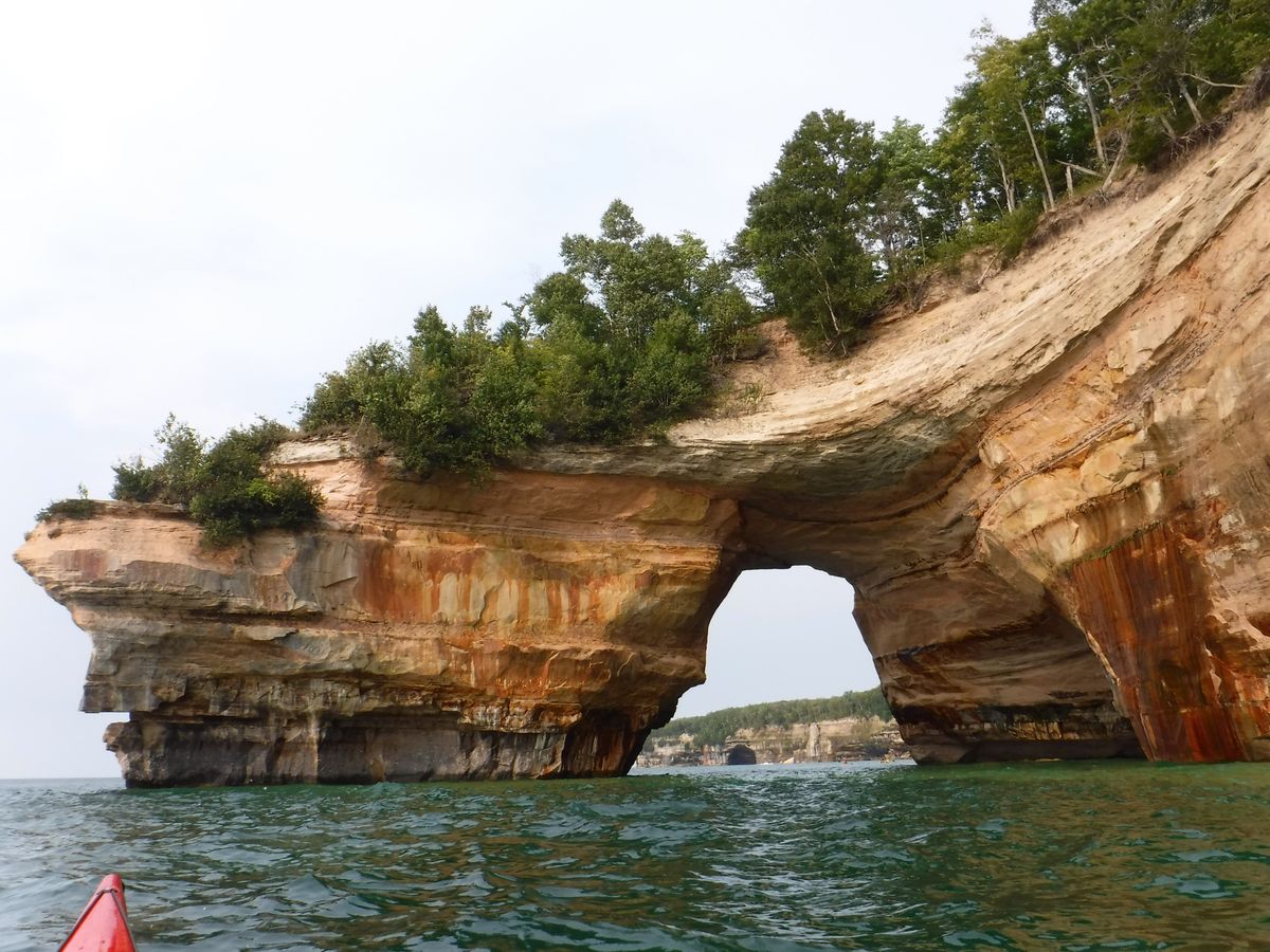
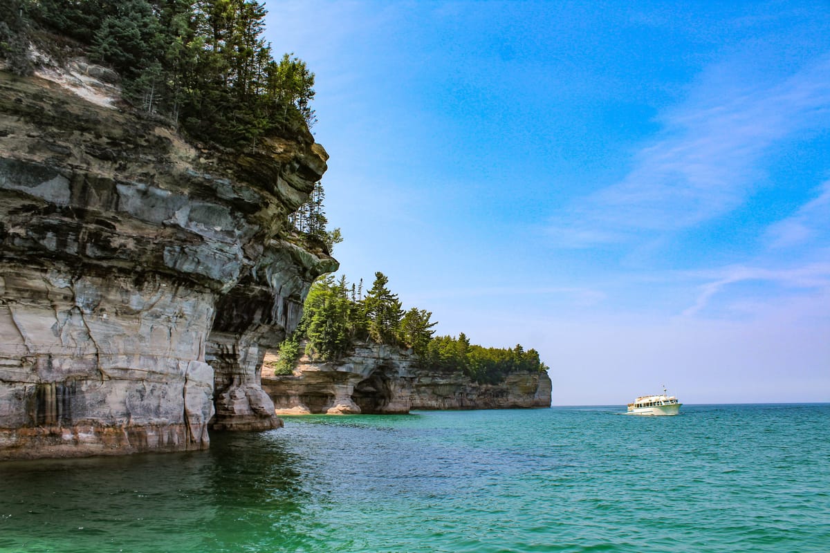
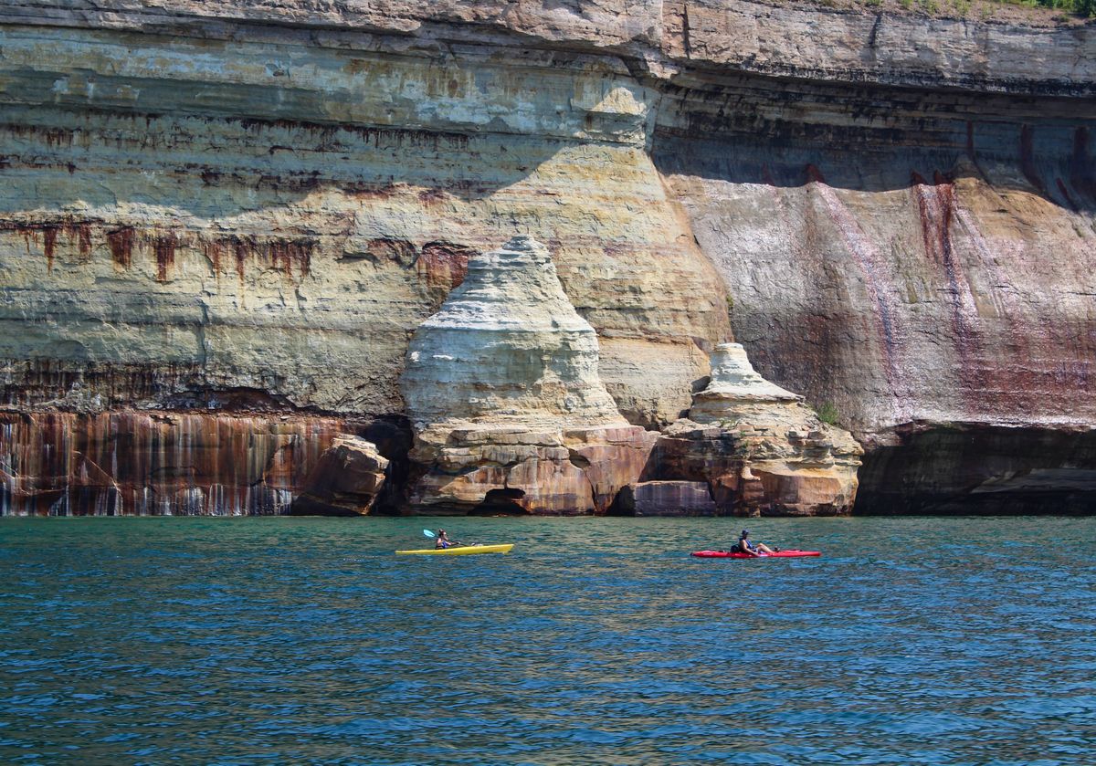
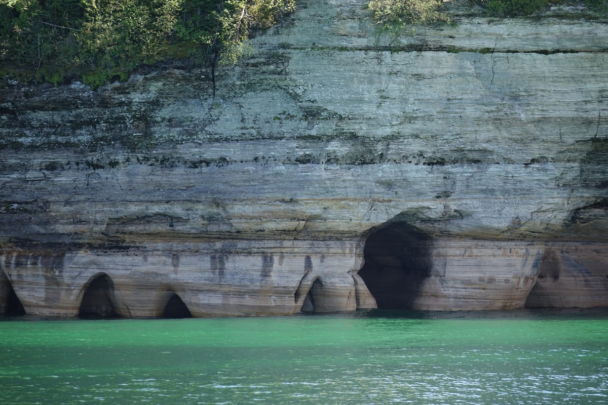
The best view of the cliffs is from the water, and in summer there are boats and kayaks to take you under them.
Who runs the boats
- Pictured Rocks CruisesThe park’s official boat tour, from Munising City Dock: narrated cruises of 2 to 3 hours, with Spray Falls and sunset sailings. May to October; book on their site.
- Pictured Rocks KayakingA 56-foot boat takes you out to the cliffs near Grand Portal, where you launch kayaks and paddle beneath them. Tours of 3 to 5 hours or more.
- Paddling MichiganGuided kayak tours from the water’s edge, from 2 to 8 hours.
- Riptide RideA jet boat of 1.5 hours around Grand Island: its cliffs, 2 lighthouses and waterfalls. Ages 3 and up. Late May to 30 September.
- Shipwreck ToursA glass-bottom boat of about 2 hours over 2 shipwreck sites, past cliffs and caves. Daily from Memorial Day weekend to 30 September.
Seasons and times change each year, so check each company’s own site. The park fee does not pay for a tour.
By car and on foot.
Miners Castle
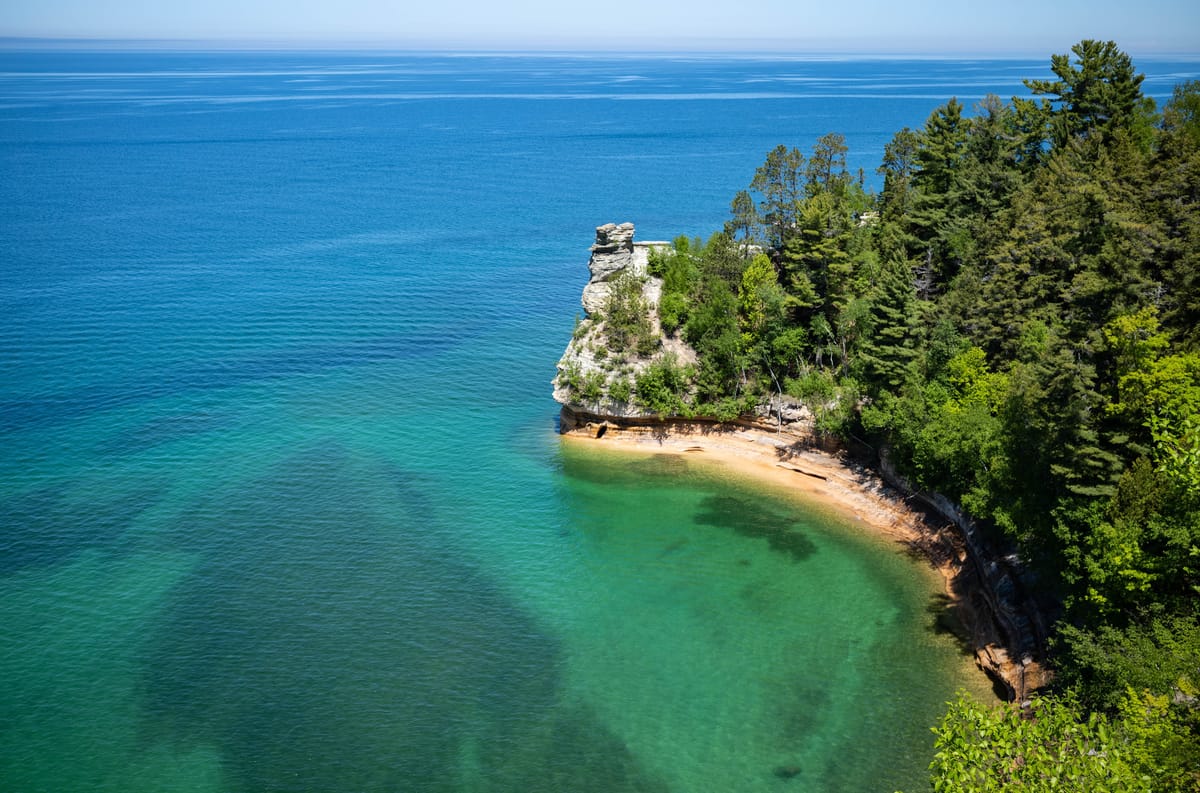
The one cliff in the park you can drive to: 5 miles east of Munising on H-58, then 6 miles north on Miners Castle Road. A short paved, wheelchair-accessible trail leads to overlooks of the lake and Grand Island.
The Log Slide
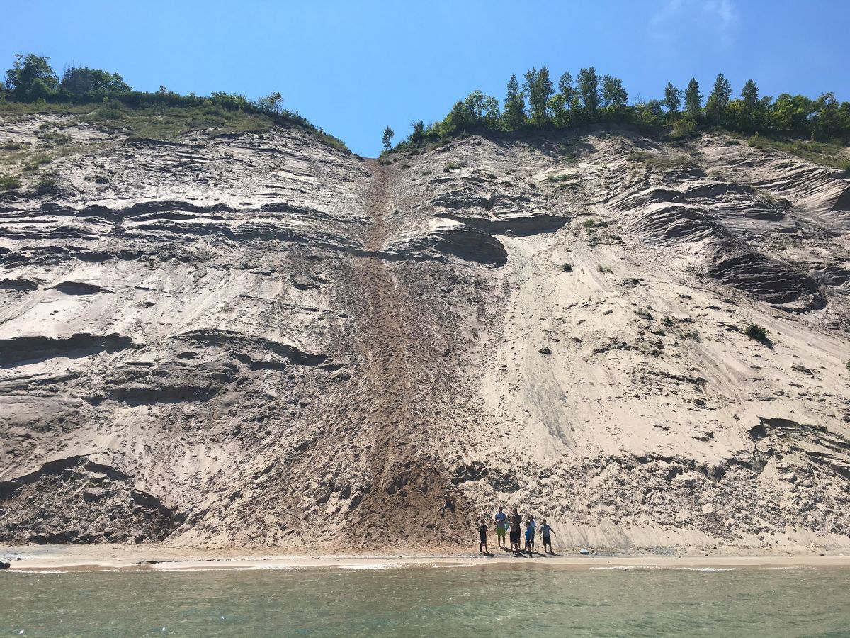
The face of the Grand Sable dunes, 300 feet of sand above the lake, at the end of Log Slide Road about 7 miles west of Grand Marais on H-58. It is the park’s east end, over 50 miles from Munising.
Au Sable Light Station
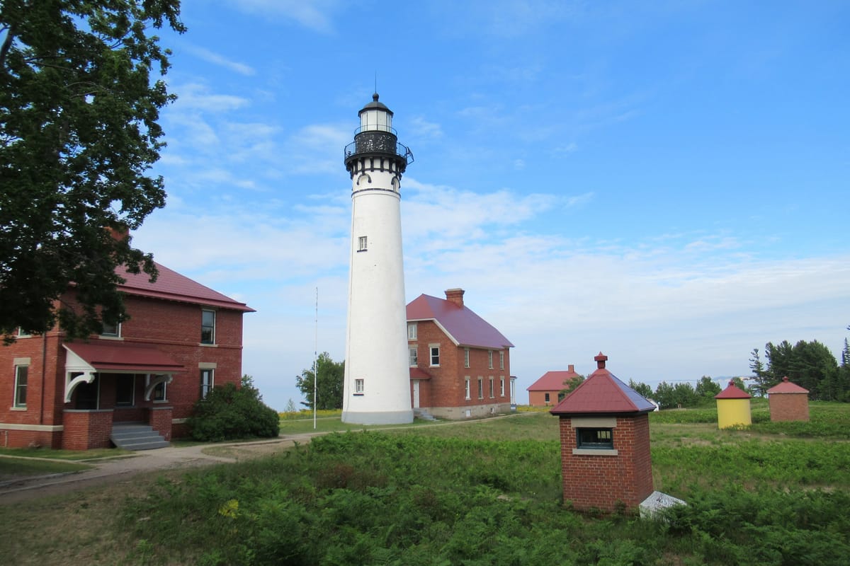
An 1874 lighthouse, a 1.5-mile walk from the Hurricane River Campground lot. Free guided climbs of its 98 steps run in summer.
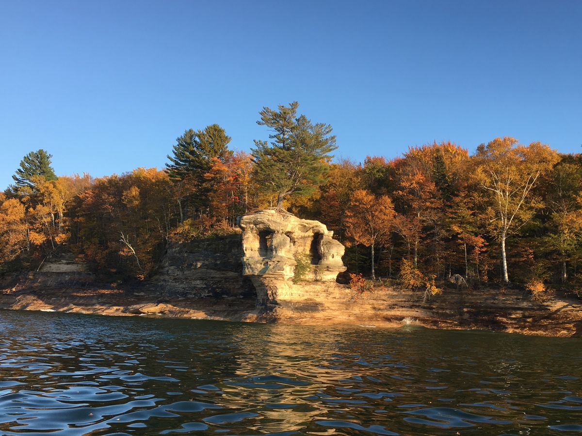
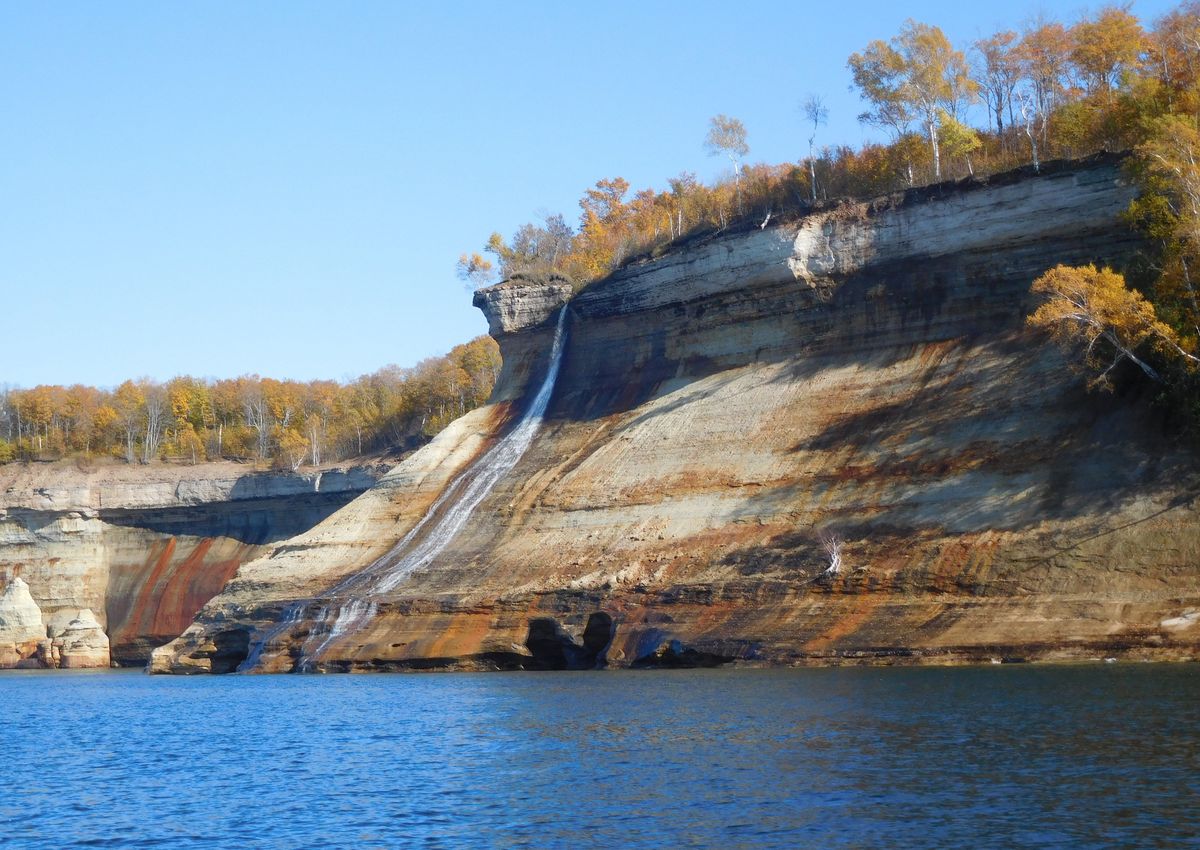
In October the color reaches the cliffs in the first half of the month, and Chapel Rock and Bridalveil Falls are at their best. Fall colors
In winter only Sand Point Road is plowed in the park. H-58 is plowed from Munising to Adams Trail, and Miners Castle Road is a snowmobile route.
The falls.
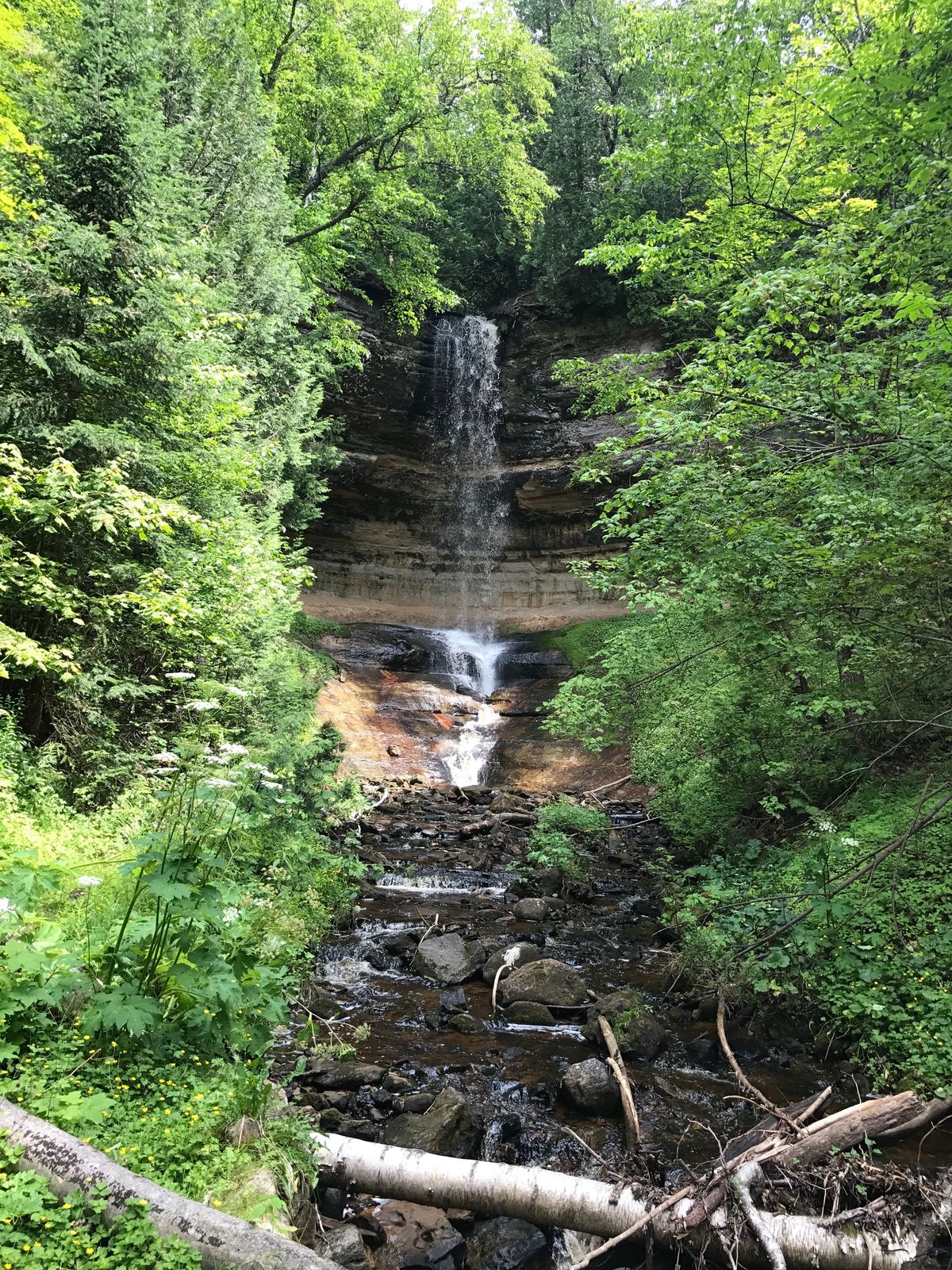
Munising Falls is a 50-foot fall inside the town, beside the park’s main visitor center, that freezes into a column of ice in winter.
From the road
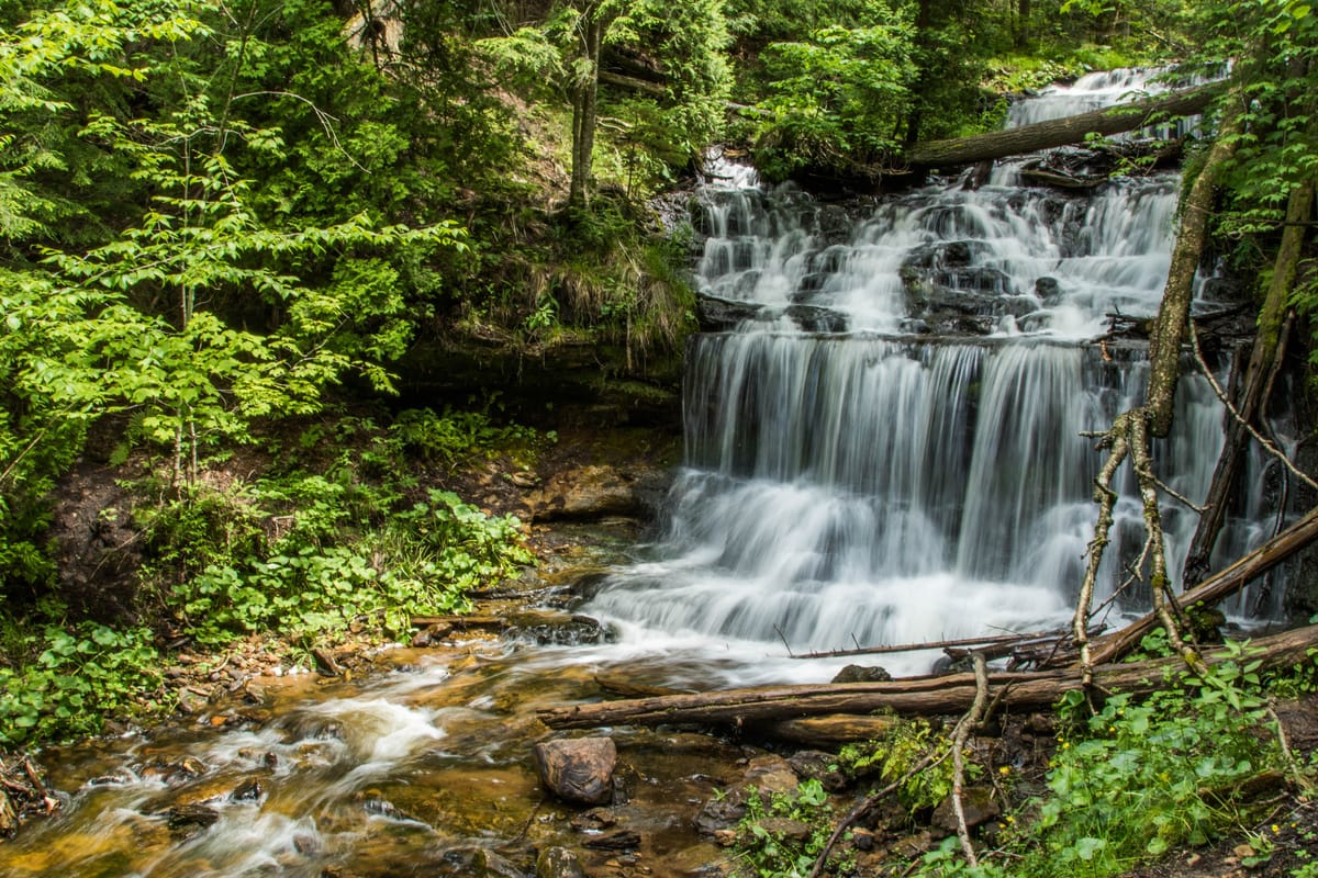
Wagner Falls is a Michigan state scenic site 1.5 miles south of Munising off M-94: a 0.1-mile gravel path and boardwalk to a platform, and a fall of about 20 feet.
On foot
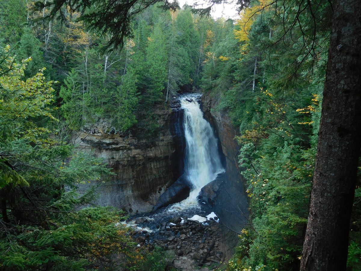
Miners Falls is 0.6 miles each way from the parking on Miners Castle Road, to 2 viewing platforms and about 50 feet of water, the park’s most powerful waterfall. Laughing Whitefish Falls is a Michigan state park off M-94, about 27 miles west of Munising, with a 0.5-mile trail to 3 platforms; a Recreation Passport is needed.
By boat
Bridalveil Falls comes off the cliff top past Miners Beach, best seen from the water and strongest with the snowmelt and spring rain; in a dry summer it can slow to a trickle. Spray Falls drops about 70 feet straight into the lake, and you see it from a boat.
Munising in winter.
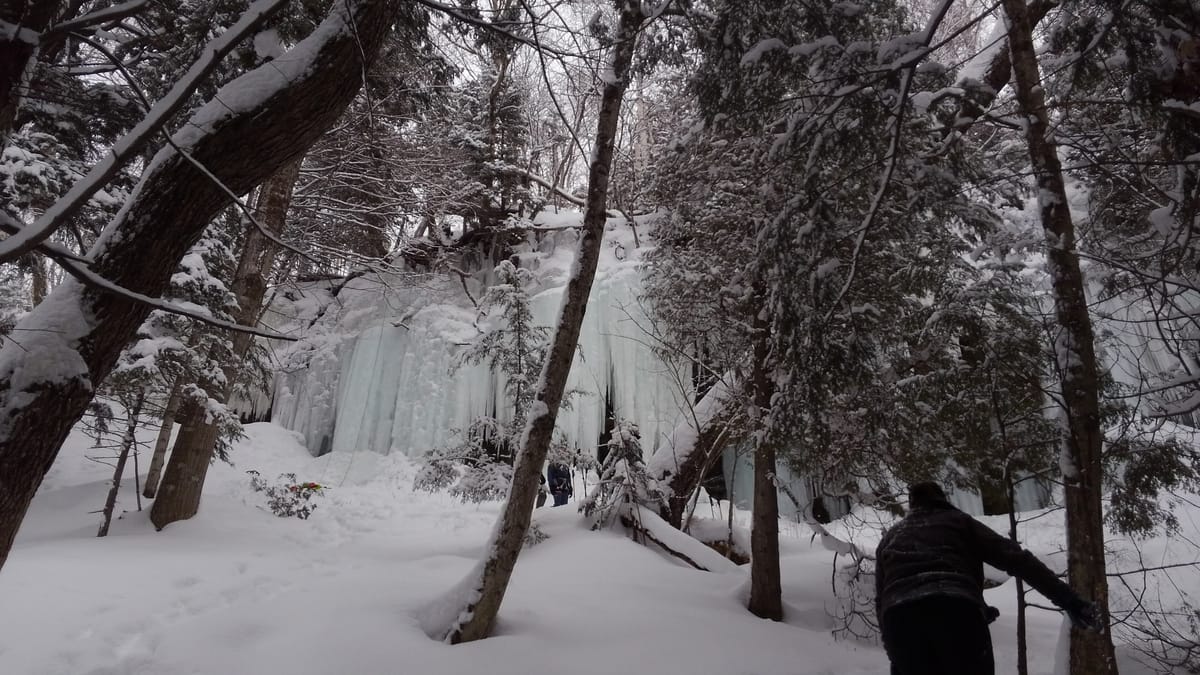
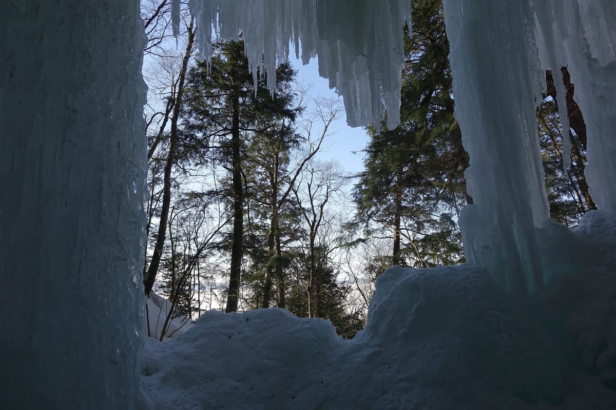
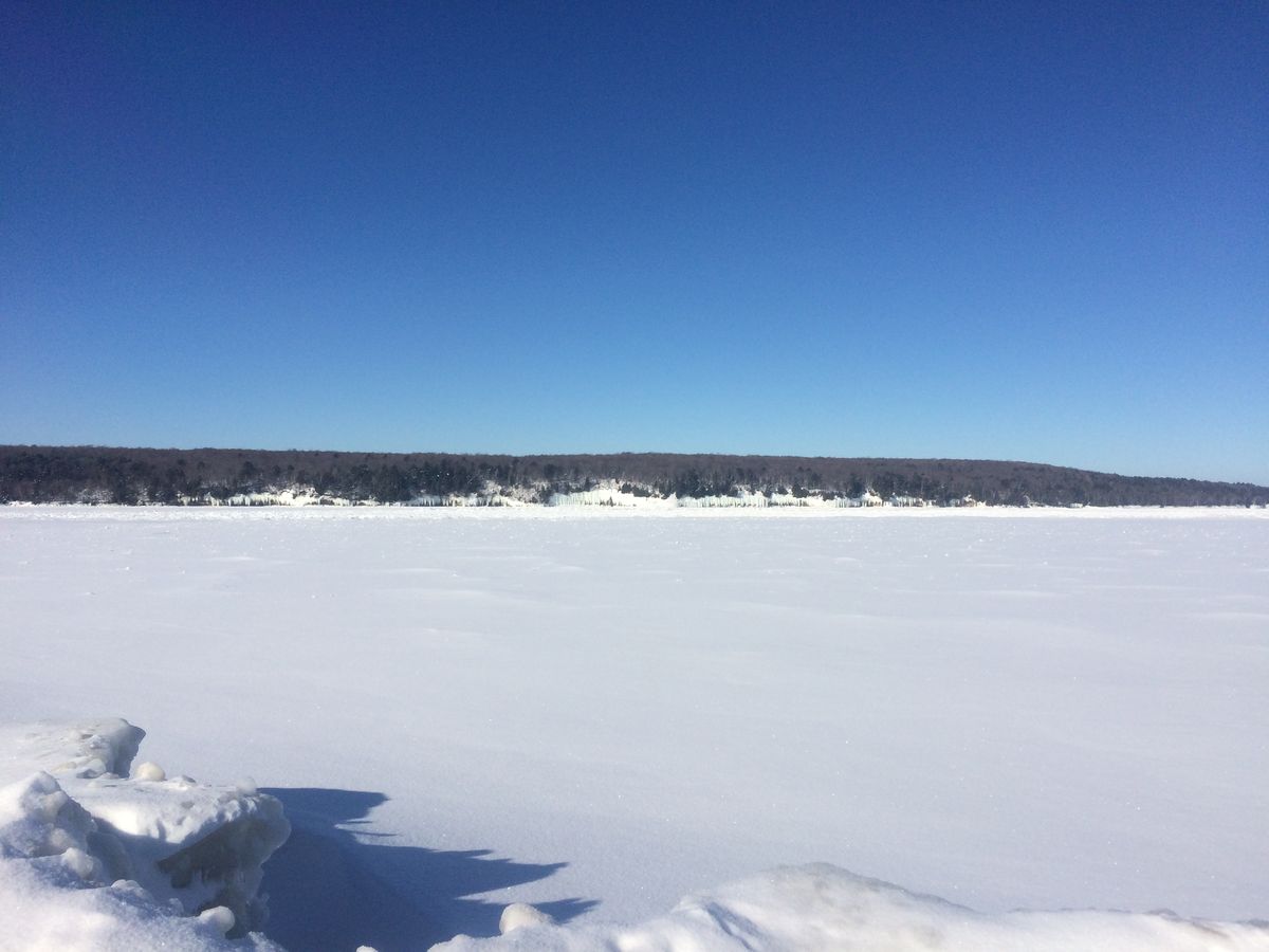
The ice curtains begin to form in mid-December and last to early April, on the cliffs between Munising Falls and Sand Point along Sand Point Road. Park at the Sand Point Beach lot and walk back 0.25 to 0.5 miles.
Back at the lodge by evening.
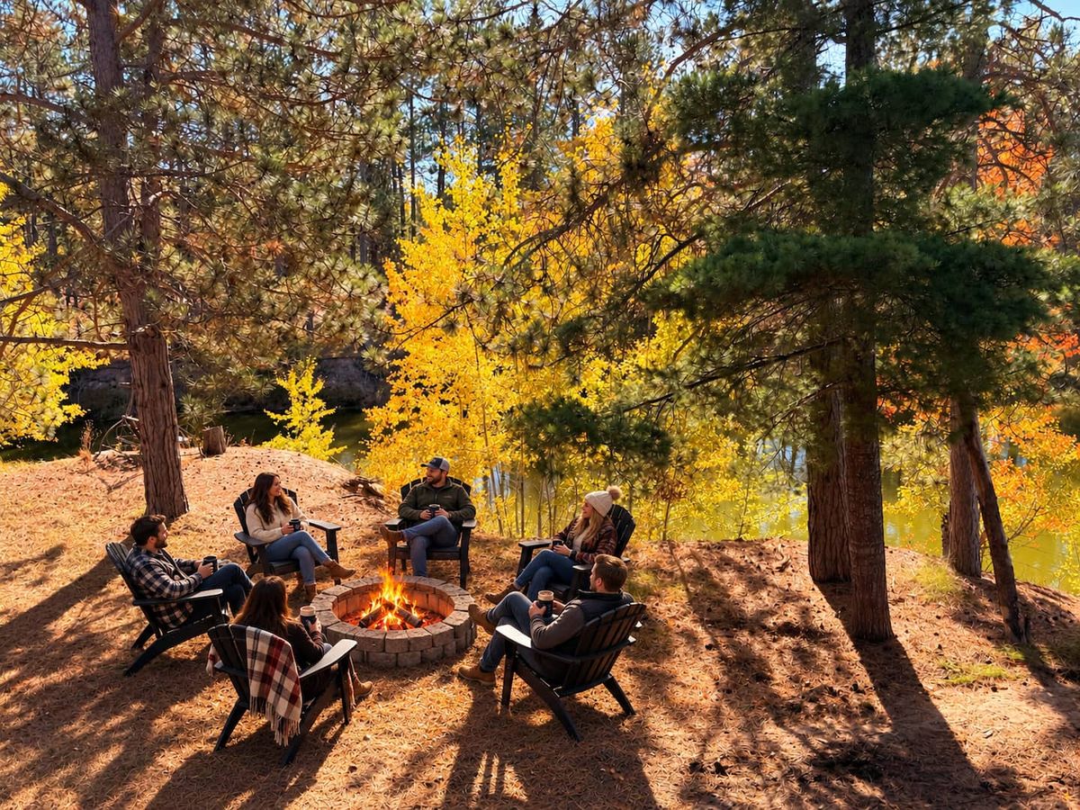
It is 34 minutes home on M-28. The sauna is hot, the fire pit is by the pond, and there is room around it for all 10 of you.
Getting there.
- The road
- M-28 east from the lodge, to Munising.
- Where to stop first
- The Munising Falls Visitor Center, 1505 Sand Point Road, open 9 am to 5 pm every day except Thanksgiving Day and Christmas Day. Passes are sold there; the phone is 906-387-3700. Put that address in your map, not “Pictured Rocks National Lakeshore”, which will not bring you to a visitor center.
- The park fee
- $25 for a private vehicle, good for 7 days, and $15 a person on foot, by bike or by boat. Under 16 is free. The park takes cards only, not cash. See the park’s fees page.